Orange Beach, AL Aerials
We're currently using our UAV, Roman III, to film much of the Alabama Gulf Coast. Visit us on YouTube or Facebook for our latest aerials.
 |
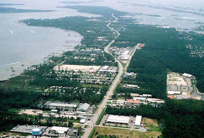
| Orange Beach, AL aerial image of Canal road traffic and various local businesses. |
 |
| The Orange Beach Sportsplex plays host to numerous social / athletic gatherings as well as NCAA tournaments for softball and soccer. |
 |
| This area is at the end of Marina road. The boat launch is in Terry Cove near Robinson and Bird island, both of which are local favorites. |
 |
| Aerial image of moderate traffic in the Orange Beach area. |
 |
| View of Grand Caribbean, its boat launch and the Orange Beach water tower on highway 181. |
 |
| Aerial image of the Grand Caribbean boat launch and the SummerChase in Orange Beach, AL. |
 |
| Aerial image of the Orange Beach, AL area |
 |
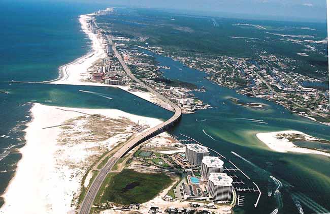
| Aerial image of Perdido Pass and Terry Cove in Orange Beach, AL |
 |
| High shot of the Four Seasons pier and neighboring condos on the Gulf of Mexico in Orange Beach, AL. |
 |
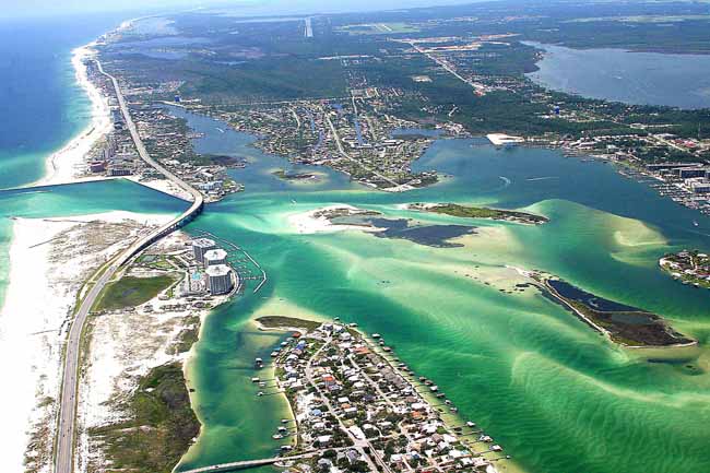
| Aerial image of Wolf Bay, Terry Cove, Old River and Perdido Pass. |
 |
| The Orange Beach area and its inland waterways. |
 |
| Orange Beach, AL aerial photo of lazy traffic. |
 |
| Caribe resort condos and the Perdido Pass bridge which is just South of Robinson and Bird island. |
 |
| High shot of East Orange Beach, AL and West Perdido Key, FL. |
 |
| A beautiful sunny day on Terry Cove showcasing one of the island's most breathtaking views. |
 |
| A closer look at the intersecting intracoastal waterway and Old River in Orange Beach, AL. |
 |
| The jetties in East Orange Beach, AL. |
 |
| Phoenix on the Bay I & II on Wolf Bay in Orange Beach in an area affectionately know as "Bear Point". |
 |
| Aerial imagery of Eastern Orange Beach, AL. |
 |
| The Wharf condos and the entire property with a partial view of the Foley Beach Express. |
